

Geographic Information Systems (GIS)
and Modeling
Even if they don’t realize it, nearly everyone uses Geographic Information Systems (GIS) on a daily basis, whether it is using a mapping app to get directions or researching nearby restaurants. In addition to the use of GIS in support of our other services, our professionals are skilled in Esri’s suite of mapping software and are able to integrate this to develop unique solutions for your GIS needs.
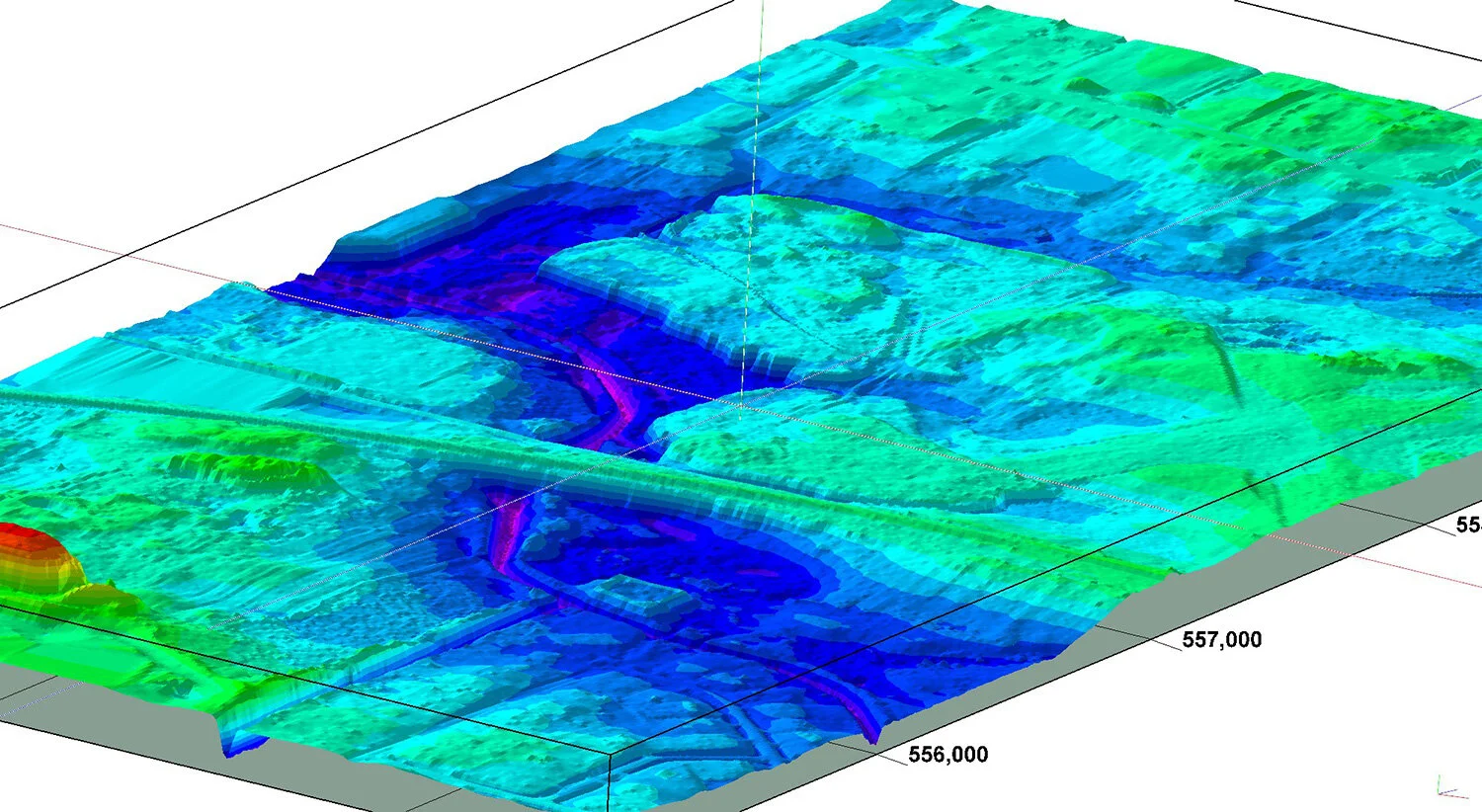
Integrating GIS software with Rockware’s Rockworks and LogPlot programs allows ERG to create geospatially aware models of both environmental and geological data. Do you have a complex project that requires advanced visualization? Our experts can work with you to determine how to best display your data and make better informed decisions for your clients.

Geographic Information Systems Services Include:
Aerial Mapping / Cartography
Real Property GIS System Development
Utility Surveys
Geographic Data Collection/Inventories
Historic Data Georeferencing and Integration
Hydrology Assessment
Stormwater Management
Infrastructure/Asset Inventories
LiDAR Analysis
Surface Modeling and Terrain Analysis
GIS End-User Program Development/Hosting
Land Research
Field recon – photo integration
Modeling Services Include:
Geological Modeling (Solid Models, Cross-sections, Fence Diagrams, Isopach Maps)
Environmental/Contaminant Modeling (Interpolated Solid Models, Cross-sections, Iso-contour diagrams)
Volumetrics (Geologic and Contaminant)
Hydrogeological Modeling (Potentiometric Surface Maps, Cross-sections, Aquifer Solid Models)